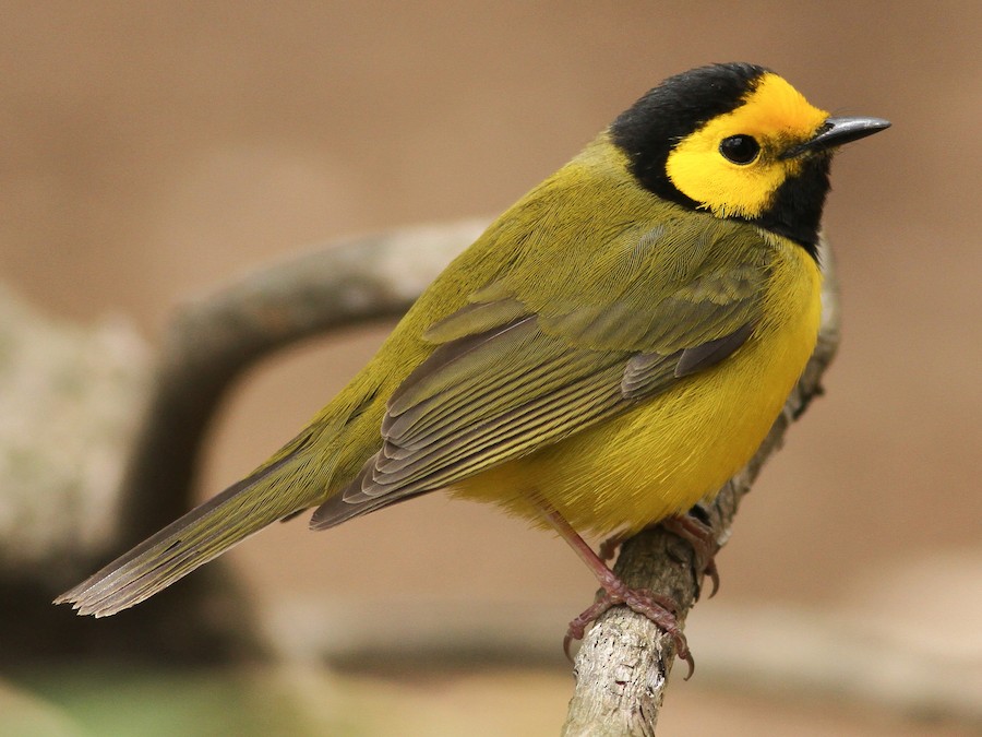
Bird Finder

Where to find Hooded Warbler in June
within 25 miles of 35.791540, -78.781117

This page shows which locations in the selected region historically had the highest probability of a checklist including Hooded Warbler in June. Because some locations may be undersampled, the results are sorted based on a confidence score which takes into account how many samples are available. The bar chart shows how the probability of observing this species varies over the year.

Back to the Top Birds list

Rank Map Pics Location Distance Observed Sampled Frequency Confidence
1 Raven Rock SP 23.9 34 46 73.9% 59.7%
2 Brumley Nature Preserve--South 22.7 25 39 64.1% 48.4%
3 White Pines Nature Preserve 24.5 28 48 58.3% 44.3%
4 Carolina North--Tripp Farm Gate 19.7 6 8 75.0% 40.9%
5 Cape Fear River--Buckhorn Road 20.9 11 18 61.1% 38.6%
6 Berryhill Park and Trails 18.4 14 25 56.0% 37.1%
7 Bolin Creek--Adams and Craig Tracts 18.8 8 13 61.5% 35.5%
8 Falls Lake--Upper Beaver Dam (Granville Co.) 21.0 2 2 100.0% 34.2%
9 North Carolina Botanical Garden 16.0 61 169 36.1% 29.2%
10 Knap of Reeds Creek Waterfowl Impoundment 23.9 6 11 54.5% 28.0%
11 Eno River SP--Cole Mill/Pump Station 21.6 14 37 37.8% 24.1%
12 Morgan Creek Trail 17.5 22 65 33.8% 23.5%
13 Duke Forest--Korstian Division 19.6 10 25 40.0% 23.4%
14 Glennstone/Heron Rookery 18.4 9 22 40.9% 23.3%
15 Falls Lake--Mountains-to-Sea Trail South of Cheek Rd. 17.4 1 1 100.0% 20.7%
16 Jordan Lake SRA--Robeson Creek Boat Ramp 18.9 1 1 100.0% 20.7%
17 Brumley Nature Preserve--North 22.2 53 220 24.1% 18.9%
18 DO NOT USE--Historical Only for Brumley Nature Preserve 22.4 7 20 35.0% 18.1%
19 Horton Grove Nature Preserve 24.6 14 50 28.0% 17.5%
20 Haw River--Bynum Dam 20.5 8 25 32.0% 17.2%
21 Falls Lake--Will Suitt Rd. RR Grade 20.0 3 7 42.9% 15.8%
22 Briar Chapel--Pokeberry Creek 18.2 35 168 20.8% 15.4%
23 Duke Forest--Eno Division 22.9 2 4 50.0% 15.0%
24 Lower Haw SNA--Hwy. 64 18.7 6 20 30.0% 14.5%
25 Chatham Co. Northeast District Park 14.1 5 16 31.2% 14.2%
26 Town Lake Park 23.4 8 31 25.8% 13.7%
27 Eno River SP--Pleasant Green 21.9 3 8 37.5% 13.7%
28 Neuse River Trail--Mial Plantation Road 18.1 8 32 25.0% 13.3%
29 Lower Haw SNA--Bynum 20.3 4 13 30.8% 12.7%
30 Old Bynum Bridge 20.4 20 108 18.5% 12.3%
31 Jordan Game Land--Audubon Platform 12.3 5 19 26.3% 11.8%
32 Jordan Game Land--Rock Quarry Public Fishing Area 13.8 2 5 40.0% 11.8%
33 Rock Ridge Park 23.8 2 5 40.0% 11.8%
34 Duke Forest--Gate 10 19.3 4 14 28.6% 11.7%
35 Bolin Creek--Community Park to MLK Blvd. 17.4 6 26 23.1% 11.0%
36 Johnston Mill Nature Preserve 20.5 11 58 19.0% 10.9%
37 Jordan Lake--Poe's Ridge 19.9 3 10 30.0% 10.8%
38 Lee Game Land 22.6 3 11 27.3% 9.7%
39 Piedmont Nature Trail 15.9 3 11 27.3% 9.7%
40 Southern Community Park--Fan Branch Trail 17.1 3 11 27.3% 9.7%
41 Eno River SP--The Quarry 21.2 2 6 33.3% 9.7%
42 Duke Forest--Gate 12 19.9 2 6 33.3% 9.7%
43 Falls Lake--Neuse River RR Grade (Durham Co.) 19.7 1 2 50.0% 9.5%
44 American Tobacco Trail--O'Kelly Chapel Road 9.0 1 2 50.0% 9.5%
45 Eno River SP--Continental Drive Access 21.6 1 2 50.0% 9.5%
46 American Tobacco Trail--New Hill-Olive Chapel Road Access 10.5 5 30 16.7% 7.3%
47 Merritt's Pasture 16.9 4 22 18.2% 7.3%
48 Jordan Lake--B. Everett Jordan Dam 18.7 8 58 13.8% 7.2%
49 Middle Creek Bottomlands II 24.9 5 34 14.7% 6.4%
50 University Lake, Chapel Hill 19.3 4 25 16.0% 6.4%
51 Eno River SP--Few's Ford 23.2 10 87 11.5% 6.4%
52 Eno River--Pleasant Green to Cole Mill 21.2 1 3 33.3% 6.1%
53 Jordan Game Land--Cub Creek 13.7 1 3 33.3% 6.1%
54 Robertson Creek Nature Preserve 23.8 1 3 33.3% 6.1%
55 Falls Lake--Hickory Hill Boat Ramp 18.4 2 10 20.0% 5.7%
56 Falls Lake SRA--Information Center 16.3 2 11 18.2% 5.1%
57 Mason Farm Biological Reserve 14.6 22 294 7.5% 5.0%
58 Eno River SP--Cabe Lands Access 20.8 1 4 25.0% 4.6%
59 Mitchell Mill Natural Area 23.7 1 4 25.0% 4.6%
60 Penny's Bend Nature Preserve 20.0 3 23 13.0% 4.5%
61 Hank Anderson Community Park 20.3 6 63 9.5% 4.4%
62 Eagle Spur Rail Trail--Stagecoach Rd. 11.9 3 25 12.0% 4.2%
63 White Oak Creek Greenway--West Side 6.7 6 75 8.0% 3.7%
64 Pulley Town Road Fields 22.5 4 43 9.3% 3.7%
65 Jordan Game Land--(Big Woods Rd. Bridge) Bush Creek 14.8 1 5 20.0% 3.6%
66 Flat River Waterfowl Impoundment 23.4 7 95 7.4% 3.6%
67 Roland E. Horne Walking Trail 23.4 2 16 12.5% 3.5%
68 Butner Game Land--Brickhouse Rd. (Durham Co.) 21.9 3 30 10.0% 3.5%
69 Jordan Game Land--Mason Point Peninsula 12.1 1 6 16.7% 3.0%
70 Shearon Harris Visitor's Center 12.7 1 6 16.7% 3.0%
71 Duke Forest--Gate 4 18.1 1 6 16.7% 3.0%
72 American Tobacco Trail--White Oak Church Rd. Access 7.9 1 6 16.7% 3.0%
73 Duke Forest--Hollow Rock & Hollow Rock Nature Park 17.9 3 37 8.1% 2.8%
74 Jordan Game Land---(751 bridge) Northeast Creek 10.6 2 21 9.5% 2.7%
75 Horseshoe Road Nature Preserve 22.1 1 7 14.3% 2.6%
76 Jordan Game Land--Farrington Point Boating Access 13.1 2 22 9.1% 2.5%
77 Robertson Millpond Preserve 20.7 2 22 9.1% 2.5%
78 Jordan Game Land--Seaforth Road South End 17.3 1 8 12.5% 2.2%
79 Little Creek Waterfowl Impoundment 14.5 4 74 5.4% 2.1%
80 Jordan Game Land--(Lystra Rd. Bridge) Overcup Creek 14.0 1 9 11.1% 2.0%
81 Jordan Lake SRA--Robeson Creek Canoe Access 18.4 1 9 11.1% 2.0%
82 Falls Lake--Mountains-to-Sea Trail Jimmy Rogers Road Access 15.2 1 10 10.0% 1.8%
83 White Deer Park 11.6 2 32 6.2% 1.7%
84 Duke Forest--Shepherd Nature Trail 18.7 1 11 9.1% 1.6%
85 Falls Lake--Holly Pt./Shinleaf 15.9 1 11 9.1% 1.6%
86 Pierce Woods and Pond 15.9 1 11 9.1% 1.6%
87 Jordan Game Land--Transis Camp Rd. 12.6 5 135 3.7% 1.6%
88 William B. Umstead SP 5.4 2 37 5.4% 1.5%
89 Fearrington Village 17.5 2 37 5.4% 1.5%
90 Bolin Creek--Umstead Park 18.1 1 12 8.3% 1.5%
91 Williamson Preserve 19.2 1 14 7.1% 1.3%
92 Mary Hayes Barber Holmes Park 22.3 3 82 3.7% 1.3%
93 Jordan Game Land--Transis Camp Power Line & Trails ONLY 12.4 2 49 4.1% 1.1%
94 West Point on the Eno Park 20.5 1 16 6.2% 1.1%
95 Schenck Forest 3.6 3 98 3.1% 1.0%
96 Jordan Lake--Educational State Forest 14.7 2 57 3.5% 1.0%
97 Blue Jay Point County Park 14.5 2 61 3.3% 0.9%
98 Harris Game Land--Upper Boat Ramp 15.5 2 61 3.3% 0.9%
99 Third Fork Creek Trail 13.6 2 72 2.8% 0.8%
100 E. Carroll Joyner Park 20.6 1 25 4.0% 0.7%
101 White Oak Creek Greenway--Wetland 6.1 1 25 4.0% 0.7%
102 Turnipseed Preserve 20.5 1 29 3.4% 0.6%
103 Rainbow Soccer Complex 16.2 1 32 3.1% 0.6%
104 Jordan Lake--New Hope Creek arm (Chatham Co) 12.0 1 42 2.4% 0.4%
105 Beaver Marsh 16.7 2 140 1.4% 0.4%
106 Sarah P. Duke Gardens 16.8 1 72 1.4% 0.2%
107 Yates Mill County Park 7.2 3 456 0.7% 0.2%
108 Bass Lake Park & Trail 10.7 1 90 1.1% 0.2%
109 Neuse River Trail--Abbotts Creek 14.5 1 131 0.8% 0.1%
110 Lake Crabtree County Park 3.6 1 184 0.5% 0.1%