GPS September 2014
Real-time 3D visualization of actual GPS satellite locations.
This code interfaces with a USB GPS receiver and produces a 3D visualization of GPS satellite positions for all of the satellites that are currently in view.
Links: GitHub


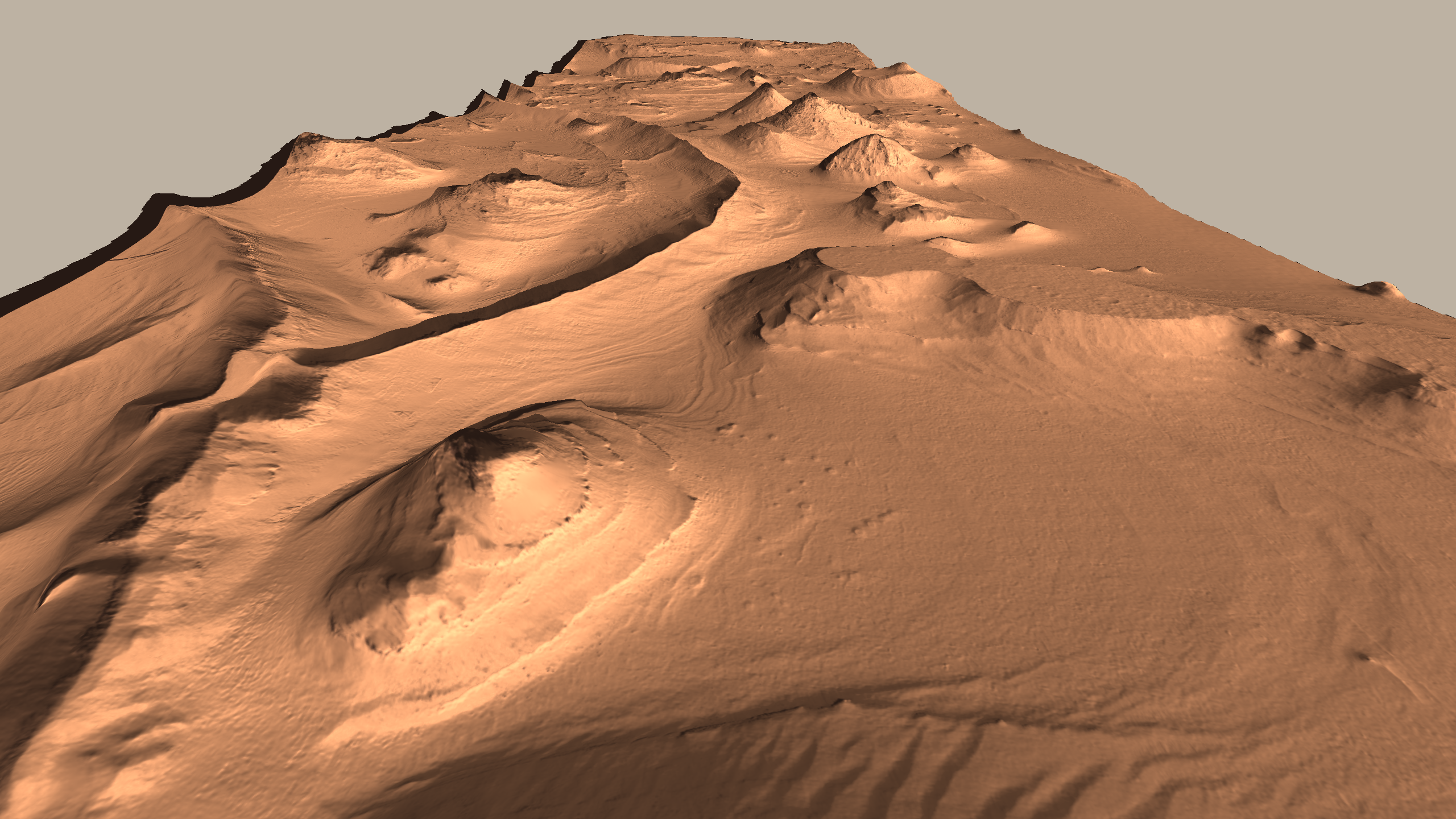
HiRISE August 2014
Fly through real Martian landscapes using data released by HiRISE.
This code converts HiRISE DTMs from their PDS format to a 3D mesh in STL format with an accompanying normal map texture for high-resolution lighting. The visualizer was written using pg, my Python OpenGL library.
Links: GitHub