Contour Maps February 2018
Generate vector-based contour maps using AWS terrain tiles.
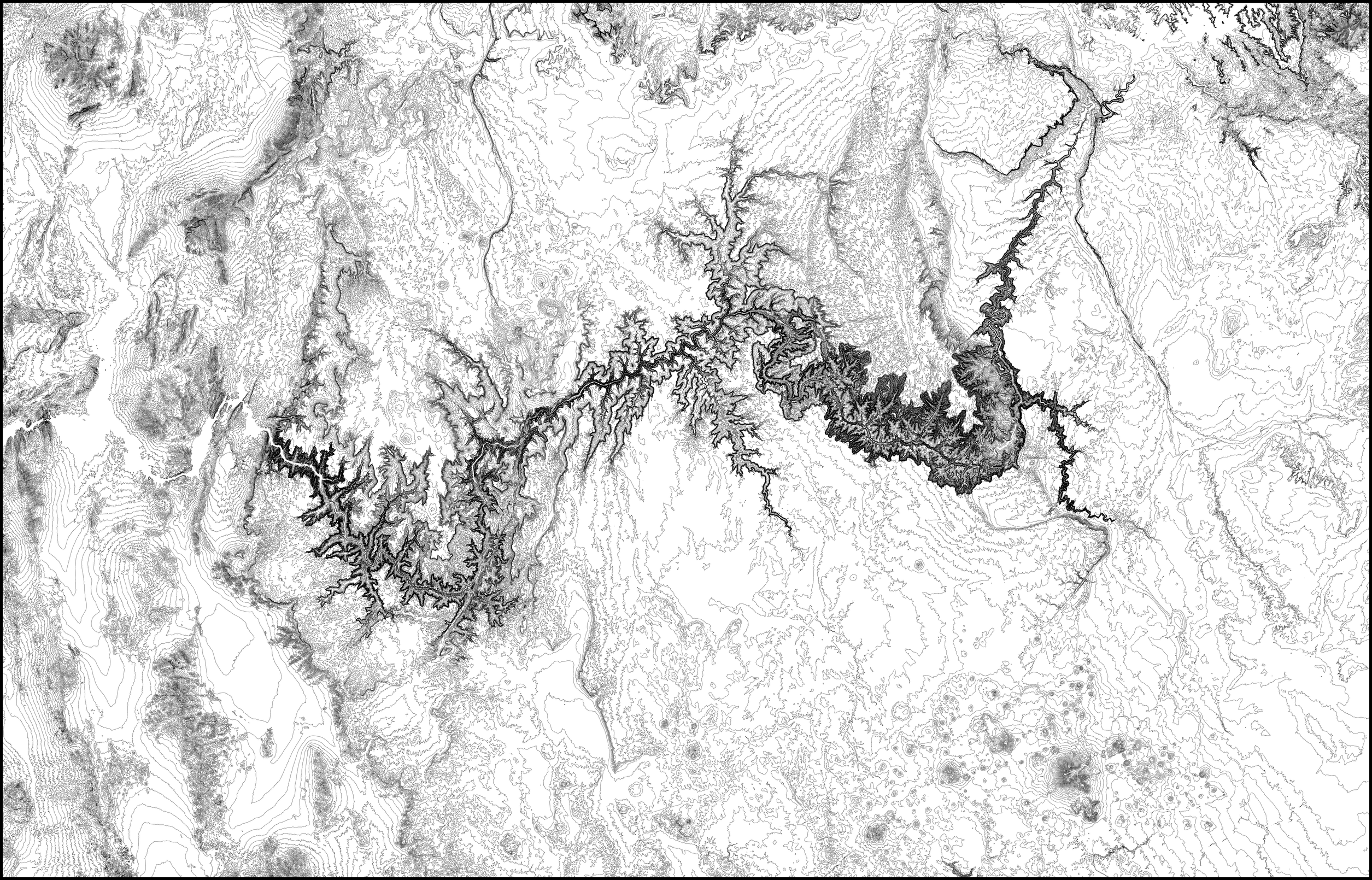
This code generates topographic maps (using contour lines) based on elevation data. It can automatically fetch and cache terrain tiles from AWS. It can render a region defined by a lat/lng bounding box or by a shapefile (such as for a given country or state). I used this code to draw topographic maps on my AxiDraw pen plotter.
The example below shows the topography of the Grand Canyon and its surroundings with contour lines separated by 50 meters in elevation.
Links: GitHub